Objective
This program is a viewer of "CIA World Data Bank II Map", which is distributed by CIA
as vector data of all over the world
It contains coastal outline, country boundary, and line of river.
I'm planning to make this program have capability to map with various projection system.
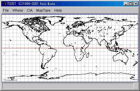
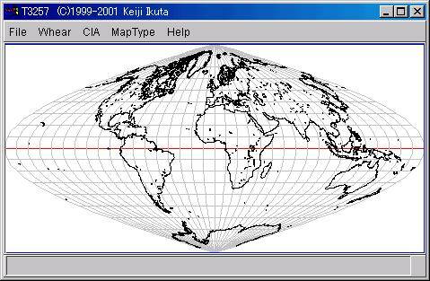
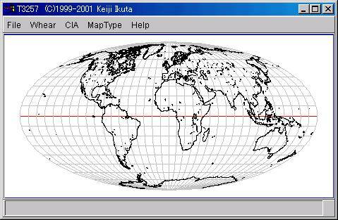
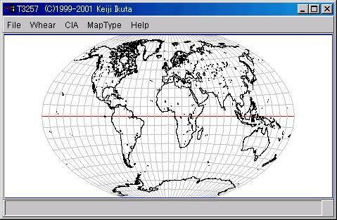
Sample Screen
- Cylindrical Equidistant
- Sanson-Flamsteed Sinusoidal
- Mollweide
- Winkel Tripel
Resources
Map Projection
 Maple Applications: Maps
by Ross Taylor and Richard Baur, Department of Chemical Engineering, Clarkson University
and by John Oprea, Department of Mathematics, Cleveland State University
- A C version of GCTP(FTP site)
GCTP(General Cartographic Transformation Package) was developed by EROS Data Center and is one of the oldest systems.
Vector data